All posts tagged "Schools"
-
 2.8KJammu & Kashmir
New school timing announced in Kashmir from Nov 1
Srinagar: Directorate of School Education Kashmir (DSEK) on Monday ordered change in school timing in all government and private schools from November...
-
1.0KJammu & Kashmir
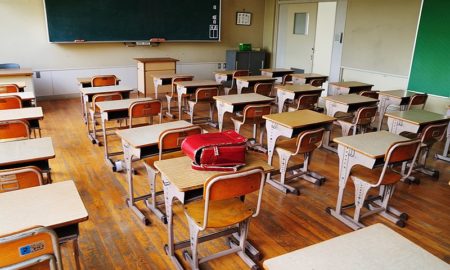
Incessant rains: Schools closed in several JK districts
Srinagar: Following the incessant rains in Kashmir, authorities in Anantnag, Kulgam, Shopian, Kupwara, Baramulla and Ramban have ordered the suspension of class...
-
3.5KAnalysis
Opinion: Why Kashmir’s education system lacks spirit of questioning
Our children literally carry the burden of this useless education which can directly be assessed by the weight of their bags. A...
-
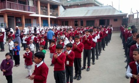
1.4KEducation
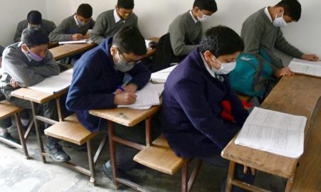
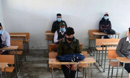
Administration orders reopening of 10, 12 classes for vaccinated students
The Administration on Sunday ordered reopening of 10th and 12th classes for vaccinated students, with 50% capacity on a given day, in...
-
3.7KCensorship
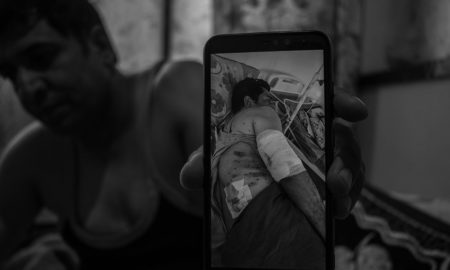
The aftermath: What happened in Kashmir after August 5, 2019
On August 5, 2019, Kashmir was put under a communication blackout after the Parliament of India, approved the splitting of the state...
-
1.0KEducation
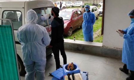
With COVID cases surging, Admin puts educational staff at risk by forcing them to travel to empty schools
‘We are forced to give online classes from schools which can be given from home’ Srinagar: At a time when Kashmir is...
-
955Education
2nd COVID wave in JK: Closure of all classes extended till April 18
Srinagar: The Jammu and Kashmir government on Sunday said that all schools up to 12th standard in the Union Territory shall remain...
-
807Covid-19
COVID: Authorities close three schools in Budgam after teachers, students test positive
Srinagar: The authorities in central Kashmir’s Budgam district on Sunday ordered closure of three schools for at least three days after some...
-
2.0KEducation
Lower primary schools in Kashmir to reopen on March 15
Srinagar: The Administration on Saturday said only upper primary schools will reopen on 8 March while the primary schools are scheduled to...
-
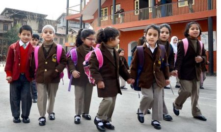
2.9KEducation
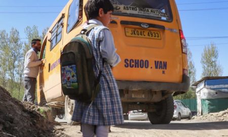
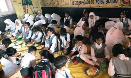
‘Don’t know if children will be safe’: Parents worry for safety of children as Admin announces reopening of schools
Srinagar: Parents are in constant dilemma about sending their children to schools as the Jammu and Kashmir Admin decided to reopen educational...